Advanced Satellite Imagery and AI Integration
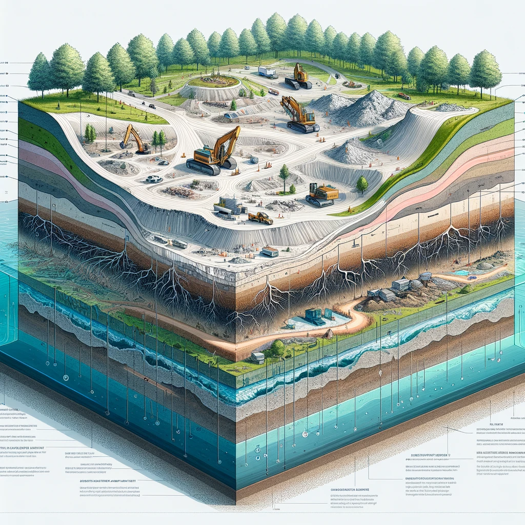
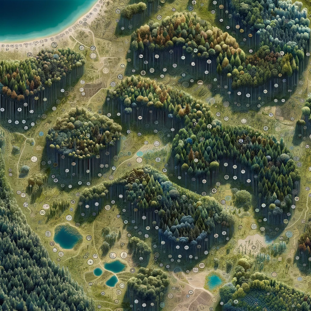
TreeGuard utilizes cutting-edge satellite imagery combined with artificial intelligence to streamline land surveys, offering detailed mappings and 3D models.

Highly Accurate Land Assessment
The technology delivers a high degree of accuracy in land assessment, crucial for construction planning and environmental monitoring, reducing the risk of costly errors and rework.

Environmental Conservation and Monitoring
Precise mapping and analysis capabilities enables environmental non-profits and government agencies to track changes in land use, monitor environmental impacts, and advocate for sustainable practices more effectively.
Expedited Construction Permit Process
TreeGuard streamlines the permitting process for construction companies, significantly cutting down the time required to begin construction projects.
Reduced Risk of Permit-Violation Litigation
In 2021, the EPA issued over $1.6 billion in non-compliance penalties. TreeGuard reduces the risk environmental permit violation litigation by ensuring compliance with local, state, and federal regulations.
Greater Profit Margins
Current methods of tree counting and land assessment often overestimate the number of trees in an area; TreeGuard addresses and corrects these inaccuracies, allowing construction companies the potential to increase their profit margins.
Latest Posts
TreeGuard AI's Value Proposition
by Caroline Begg
Leveraging deep learning techniques and thousands of ecological data sets to create precise mappings of the terrain.
Technology Behind TreeGuard AI
by Caroline Begg
A combination of decades-worth of ecological research, sophisticated deep learning models, and satellite imagery.
What Is TreeGuard AI?
by Caroline Begg
Hypothetical entrepreneurial firm that I developed for a entrepreneurship class that I am currently taking based off of a novel technology.
